
Rising Tides and Rapid Melts: Navigating the 2026 Northern Ontario Floods
The spring of 2026 has brought a familiar but formidable challenge to Northern Ontario. As temperatures climb and the snowpack retreats, several communities are currently navigating the peak of the spring freshet.
Current Status and States of Emergency
The situation reached a critical point in late April, leading to States of Emergency in several municipalities, including Greater Sudbury, West Nipissing, and Central Manitoulin.
In Sudbury, Mayor Paul Lefebvre declared the emergency as a precautionary measure to streamline planning and resource allocation. While a brief cold snap last week provided a temporary reprieve by slowing the melt, the return of double-digit temperatures has accelerated runoff into the local watersheds.
Impacted Areas and Water Levels
The flooding this year is driven by a combination of a significant remaining snowpack and heavy April rainfall—with some areas like North Bay recording over 220% of their normal monthly precipitation in just the first two weeks of the month.
- Sudbury and Surrounding Areas: Water levels have impacted residential streets in Chelmsford and Coniston. Officials remain concerned about potential record-breaking levels as the “northern melt” moves through the system.
- North Bay & Mattawa: A Flood Warning remains in effect for the North Bay-Mattawa watershed. The La Vase and Wasi Rivers have seen significant flooding, and local conservation areas like Mattawa Island remain closed to the public.
- West Nipissing: High water levels on Lake Nipissing are threatening shorelines. A particular concern this year is the remaining lake ice; if high winds push large ice sheets toward the shore, they can cause “ice shoves” that damage property far more quickly than water alone.
- The Far North: Flood Watches are currently active for the Albany and Moose Rivers. In these remote regions, the primary risk is often ice jams—massive blocks of river ice that lodge in narrow sections, causing water to back up rapidly into communities.
The Human Element: Frustration in Cottage Country
While the far north deals with ice and runoff, the “near north” and Muskoka regions are seeing a surge in community advocacy. Residents in areas like Bala have seen water seep into local businesses and homes for several consecutive weeks.
There is growing public pressure on the Ministry of Natural Resources to re-evaluate water management plans. Many locals argue that the current balance between hydro-generation and flood mitigation needs to be adjusted to prioritize property protection as these “once-in-a-decade” floods begin to occur almost annually.
Safety Reminders
As we move through the final stages of the freshet, authorities are emphasizing several key safety points:
- Bank Stability: Riverbanks are currently saturated and highly unstable. Avoid walking near the edge of fast-moving watercourses.
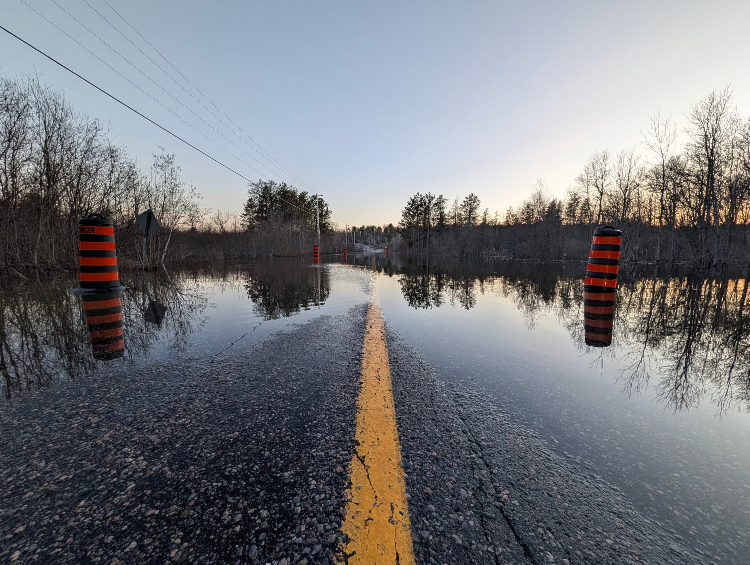
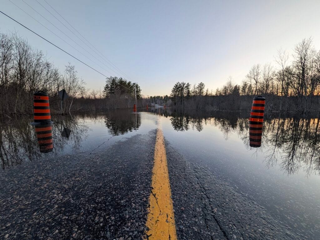
- Road Safety: Do not attempt to drive through flooded roadways. Even shallow-looking water can mask a washed-out road or have enough force to sweep a vehicle away.
- Cold Water Risk: The water is near freezing. Hypothermia can set in within minutes, making accidental falls into even slow-moving water life-threatening.
For the latest updates on specific watersheds, residents should monitor the Ontario Flood Forecasting and Warning Program and their local Conservation Authority bulletins.